
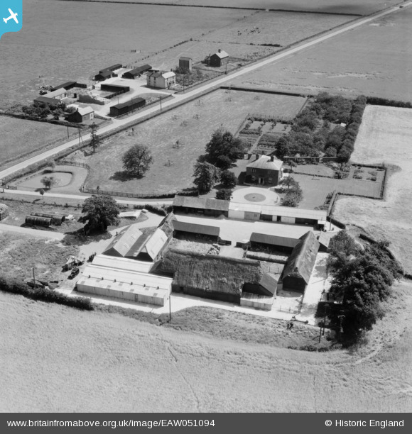
EAW051094 ENGLAND (1953). Randswood Farm and Bangalow Farm, West Wratting, 1953
© Copyright OpenStreetMap contributors and licensed by the OpenStreetMap Foundation. 2024. Cartography is licensed as CC BY-SA.
Nearby Images (9)
EAW051094

EAW051092

EAW051096

EAW051093

EAW051095

EAW051090

EAW051091

EAW051088

EAW051087

Details
| Title | [EAW051094] Randswood Farm and Bangalow Farm, West Wratting, 1953 |
| Reference | EAW051094 |
| Date | 10-August-1953 |
| Link | |
| Place name | WEST WRATTING |
| Parish | WEST WRATTING |
| District | |
| Country | ENGLAND |
| Easting / Northing | 562573, 250872 |
| Longitude / Latitude | 0.3755005917114, 52.131791426495 |
| National Grid Reference | TL626509 |
Pins
 Billy Turner |
Monday 31st of October 2016 05:20:00 PM |


