
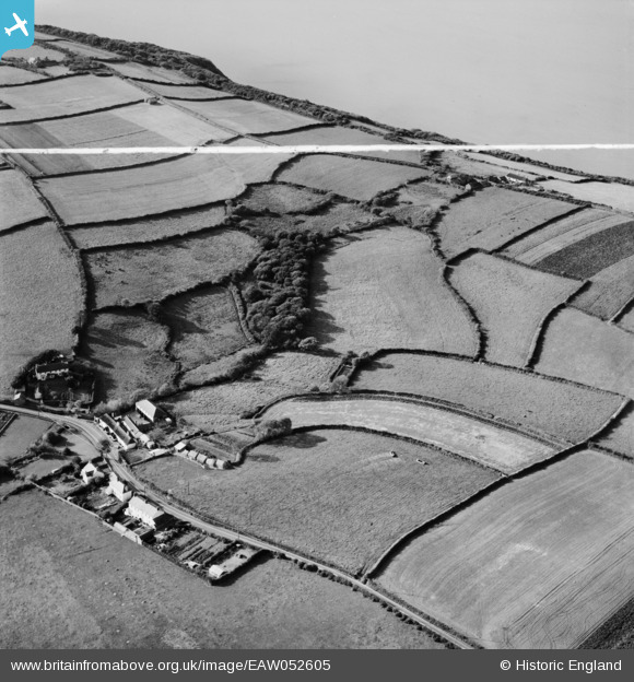
EAW052605 ENGLAND (1953). The Hoops Inn and nearby coastline, Horns Cross, 1953. This image was marked by Aerofilms Ltd for photo editing.
© Copyright OpenStreetMap contributors and licensed by the OpenStreetMap Foundation. 2024. Cartography is licensed as CC BY-SA.
Nearby Images (8)
EAW052605

EAW052607

EAW052608

EAW052601

EAW052604

EAW052603

EAW052602

EAW052606

Details
| Title | [EAW052605] The Hoops Inn and nearby coastline, Horns Cross, 1953. This image was marked by Aerofilms Ltd for photo editing. |
| Reference | EAW052605 |
| Date | 5-October-1953 |
| Link | |
| Place name | HORNS CROSS |
| Parish | PARKHAM |
| District | |
| Country | ENGLAND |
| Easting / Northing | 237450, 123277 |
| Longitude / Latitude | -4.3161546321738, 50.985372800025 |
| National Grid Reference | SS375233 |
Pins
 Billy Turner |
Monday 10th of October 2016 10:13:59 PM |


