
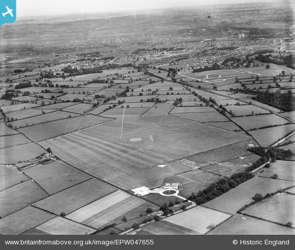
EPW047655 ENGLAND (1935). Leicester (Braunstone) Aerodrome and environs, Leicester, from the north-west, 1935
© Copyright OpenStreetMap contributors and licensed by the OpenStreetMap Foundation. 2024. Cartography is licensed as CC BY-SA.
Nearby Images (7)
EPW047655
 Aerodrome and environs, Leicester, from the north-west, 1935")
EPW047656
 Aerodrome and environs, Leicester, from the north-west, 1935")
EPW047657
 Aerodrome and environs, Leicester, from the north-west, 1935")
EPW047662
 Aerodrome and environs, Leicester, from the north-west, 1935")
EPW047659
 Aerodrome and environs, Leicester, from the west, 1935")
EPW047658
 Aerodrome and environs, Leicester, from the north-west, 1935")
EPW047660
 Aerodrome and environs, Leicester, from the north-west, 1935")
Details
| Title | [EPW047655] Leicester (Braunstone) Aerodrome and environs, Leicester, from the north-west, 1935 |
| Reference | EPW047655 |
| Date | June-1935 |
| Link | |
| Place name | LEICESTER |
| Parish | |
| District | |
| Country | ENGLAND |
| Easting / Northing | 453372, 304309 |
| Longitude / Latitude | -1.2112913898636, 52.633553650195 |
| National Grid Reference | SK534043 |
Pins
 Gavin Holmes |
Monday 29th of April 2024 09:42:08 PM |


