
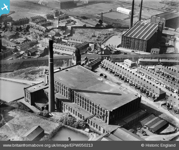
EPW050213 ENGLAND (1936). Hartford Cotton Mill, Werneth, 1936
© Copyright OpenStreetMap contributors and licensed by the OpenStreetMap Foundation. 2024. Cartography is licensed as CC BY-SA.
Nearby Images (14)
EPW050213

EPW050212

EAW004269

EAW004275A

EAW004270

EPW050215

EPW050216

EAW004274

EAW004271

EPW050214

EAW004272

EPW050217

EAW004275

EAW004273

Details
| Title | [EPW050213] Hartford Cotton Mill, Werneth, 1936 |
| Reference | EPW050213 |
| Date | May-1936 |
| Link | |
| Place name | WERNETH |
| Parish | |
| District | |
| Country | ENGLAND |
| Easting / Northing | 391091, 404570 |
| Longitude / Latitude | -2.1344397107278, 53.537458130648 |
| National Grid Reference | SD911046 |
Pins
 andyb |
Thursday 5th of October 2023 01:27:45 AM | |
Pedro |
Thursday 29th of January 2015 11:55:24 PM | |
Pedro |
Thursday 29th of January 2015 11:53:30 PM | |
Pedro |
Thursday 29th of January 2015 11:50:58 PM | |
eddief |
Wednesday 2nd of October 2013 05:57:02 PM | |
eddief |
Wednesday 2nd of October 2013 05:56:09 PM | |
eddief |
Thursday 26th of September 2013 08:14:58 PM | |
eddief |
Thursday 26th of September 2013 07:48:43 PM | |
eddief |
Thursday 26th of September 2013 07:46:35 PM | |
eddief |
Thursday 26th of September 2013 07:46:01 PM | |
eddief |
Thursday 26th of September 2013 07:45:11 PM | |
eddief |
Thursday 26th of September 2013 07:44:31 PM | |
keith |
Friday 7th of June 2013 05:24:19 PM |


